


Litjan
-
Posts
5,718 -
Joined
-
Last visited
-
Days Won
424
Content Type
Profiles
Forums
Latest X-Plane & Community News
Events
Downloads
Store
Everything posted by Litjan
-
The replay mode is sometimes a little buggy - since we had to work around X-Plane not recording custom datarefs for the replay. The flight-spoilers come out at touchdown (wheel spinup), the ground spoilers only after compression of the right main gear strut. So on supersmooth touchdowns, there can be a noticeable delay, too. Jan
-
Can you guys with the micro-stutters try this? Jan
-
Very interesting report - I will make sure to include that in my "recommendations in case of problems" list! Thanks for reporting back on that! Jan
-
Can you try with a default airplane? Jan
-
Hi Xander, I experience the same - but this is attributed to X-Plane´s physics modeling in tight turns. It just bleeds energy very fast...maybe we can tweak the ground model a tiny bit better... But here is my offer - you run that single engine up a bit higher and forget about the cooldown time - and I will pay for all the extra maintenance costs that you will suffer! Jan
-

Wrong engine sound at max reverse thrust (since update 1.0.2)
Litjan replied to Cpt. Oveur's topic in Bug Reports
Reverse sounds will be tweaked a bit for the next hotfix... Jan -
At least you had the buffet all for yourself, then!
-
Oh, ok - this is something we need to address. You are clearing a speed restriction that is associated to a waypoint. I am not even sure if you can do it on the CLB page on the real plane - but it should be done on the LEGs page (use DELETE) to remove the restriction associated with that waypoint. I will talk to Tom, maybe we can allow this entry to be made on the CLB page as well, or we at least pop an INVALID DELETE. What you are seeing is certainly a bug, so thanks for reporting that! Jan
-
No idea what happened... and haven´t heard of that one before, either. The only chance getting a video of something like this would be running something like "shadowplay", it records all the time, and with a keypress you can save the "last 2 minutes" onto your harddrive. I mourn the loss of virtual Norwegian life! Jan
-
We like you guys so much, we want you to be closer to us! Thats why!
-
Hi XPlanePort, thanks for the detailed and excellent report. I see the quirk and I am sure Tom will be able to reproduce the problem very quick. We are currently still in the "kill all crash-issues mode" - the fixing of erroneous VNAV path will ensue very soon. Your case is logged and we will look at it fairly soon. For now (just as a temporary workaround) try to stay ahead of your FMC´s VNAV calcs. The plane will rougly do 1000 feet in 3 miles. Anytime you see that your next restriction (like 9000 at CAPKO) can´t be made, assume the FMC is trying to **** with you and revert to FL CHG and make the plane go where YOU want it to go. Airbus came up with "4 golden rules for pilots" - well, actually two of them have been there since the Brothers Wright - and one of them is "Take action if things don´t go as expected!". That´s why there are still pilots in the cockpit these days. The simple task of flying from A to B could be easily done by a computer... like our FMS . Jan
-
Any Australian pilots got the FMC working?
Litjan replied to kneighbour's topic in General Discussion
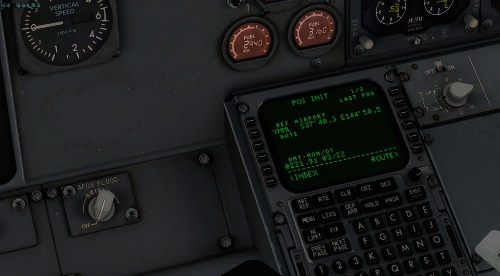
Hi Kerry, this is an excellent bug report - almost perfect. The debug.txt can sometimes not be generated (four times .... on the left CDU) because either the code crashed too bad before, or the user hasn´t selected the "DEBUG mode" option in the PREFERENCES. I believe that Tom has already fixed this bug in the next version coming up - there was a bad quirk in the STAR and TRANSITION selection process, that hit a lot of people... I will forward this to him just to make sure it is the same error, and please do me a favour and check again after the next update, would you? The N/S thing will also be fixed - just be aware that sometimes using the REFERENCE AIRPORT position is not accurate enough - especially on big airports. Use the GPS like you did, that should work fine everytime. Thanks again, Jan -
Yes, if you are quick you can open the windows before the pressure builds up... we are going to have a fix for some window-problems in the next update. Jan
-
Did you check your failures setting in X-plane? Maybe you have random failures on (its on by default!) Jan
-
Sweet, thanks Stefan!
-
I think you are fine with 2, actually - the plane is not small and nimble, so I think that should be fine. Jan
- 1 reply
-
- 1
-

-
Thanks for the follow-up! Good to know it´s not our plane Jan
-
A good lead - I will try that!
-
Full flight with gizmo log LFMN-ENGM - probably known bugs
Litjan replied to torgeir's topic in Bug Reports
Thanks for that report back and glad you got a smoother ride, now! Jan -
Well, this has nothing to do with the FCC master - that only determines which of the two radios is being "slaved" to the autopilot. For example if FCC A is master, the autopilot will only track VOR´s or ILS´s that are tuned on NAV 1. However, the EHSI´s still display their respective radio signals, so you could show an ILS set on NAV 2 on EHSI 2 - the autopilot (or FD) simply wouldn´t track it. And autopilot trumps FD - so if FD 1 is master (FCC A) , but then you engage autopilot B, FCC B becomes master. Jan
-
For now, just be aware and dial the speed back real quick - the plane takes some time to pitch down, so you should be able to catch it . Jan
-
Thanks for the feedback and very constructive criticism! We will certainly consider your suggestion - it is always a tradeoff between visual quality and performance - the eternal tug of war... And yes, that screenshot looks really nice! Jan
-
Thanks for the report and getting back to me on this! If you enter a cruise of 230 but have restrictions that are higher than that, I think the FMS will disregard them (or even eraze them for you). This will be part of the VNAV tuning that we will do over the next weeks and months... Again, really happy that you report this, and yes, make sure that you have DEBUG OUTPUT selected in the PREFERENCES and then click the .... on the CDU. You will get a message "debug exported" or so - and the debug.txt will be in the aircrafts root folder. Thanks, Jan
-
Full flight with gizmo log LFMN-ENGM - probably known bugs
Litjan replied to torgeir's topic in Bug Reports
Hi torgeir, this seems to match our observations - whenever a route is in the MOD state, it gets recalculated continuously (so that it can take the moving airplane position into account). This places some load on the CPU and data access. We will see how we can alleviate that. Jan PS: some people reported windows defender to be a problem...
