Leaderboard
Popular Content
Showing content with the highest reputation on 02/18/2016 in all areas
-
Once you are 'out of bounds' of the route parameters, you are right that things go bad very fast. The most difficult situation is when you are past the Top of Descent point and you simply cannot make it to the runway following the procedure without flying too steep and with flight spoilers deployed and even then there is no guarantee depending on how "late" you are past the T/D point. Simply said, in such a case, you can NOT recover and still fly the given procedure, you have to extend your descent distance somehow by flying off route. Jan does this in one of his videos where he "circles back" and rejoins a procedure leg. (ala pattern work) Also, It could be your arrival procedure has some restrictions that cause you to fly level segments and if you can get ATC permission to bust the restrictions, you could make up some ground and descend on those legs. I have actually spent the last few weeks working on these more difficult scenarios...what to do "IF". As Jan mentioned...as a professional pilot, he has never seen some of these situations, but for newbies like us, we get into trouble all the time and so the FMS has to handle really odd inputs sometimes. There is one thing to note...and that is that the flight profile does have bounds....and the FMS is not a "save all". You get too far out of bounds and the FMS will do no good or give you bad results. BUT, I can say firsthand, that is why I myself keep at it....to get it right. It is addicting. I flew my very first completely automated flight yesterday, takeoff to touchdown with speed and altitude restrictions on climb and descent...all the way down to minimums, the ultimate milestone. All I did was raise/lower gear and flaps after engaging LNAV/VNAV. So whats left? There are still other scenarios we have to punch in to see what happens. Short routes, half routes, changed routes, changed destinations etc. Of course we have coded for these, but we are testing them now for stability and patching holes as they arise. Good news is the bugs are getting much fewer and far between. Stability testing with a broader group is up next. -tkyler13 points
-
5 points
-
4 points
-
I have found that TCAS on VATSIM is really something I ignore mostly, especially when not being controlled. Idiot pilots will be idiots... All TCAS does is annoy me. Now if everyone had a TCAS system that formulated conflict resolution then maybe it would be something to put energy into. Anyways, I am in the camp of "who cares" about TCAS features because the people it "saves" you from are the ones that don't care anyways. My two cents. Rizzo3 points
-
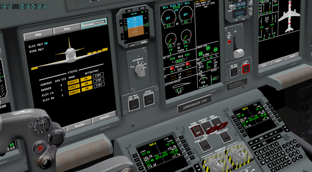
Thanks for your interest in my project and sorry for the slightly delayed answer. There has been some good progress - mostly coding. That's why no new screenshots at the moment. The elec system is done, as is the fuel system. The apu system is next in line but will have to wait a few more weeks as I'm currently taking a little break from the project.3 points
-
3 points
-
2 points
-
The reason is that you chose the wrong instance of NTL, which can easily be seen by looking at the distances. You route would have a total lenght of nearly 10.000nm When there are multiple entries for fixes, navaids or airports with the same name (NTL in this case), the FMC will prompt you with a list, and you need to be careful to choose the right one. In this case you seem to have chosen the NATAL (NTL) VOR in Brazil instead of the NORTEL (NTL) VOR in Sweden.2 points
-
Video or it doesn't exist... (That's my comment to bait another video out of you guys).1 point
-
Yes... The items that change monthly are departure and arrival procedures which is a bulk of what the AIRAC data is. VFR/IFR charts is a different subscription and honestly for those, websites like SkyVector (USA) is great. If you fly the big iron on published procedures and don't like hearing from controllers "Can you accept the XYZ5 departure? The XYZ4 is out of date." then monthly is great. It isn't a big deal usually, but I can justify the $3/month for the annual... And it feels good to not see the CDU message saying the data is out of date.1 point
-
That sounds very nice. Sounds like you are getting the work done! This is great. Keep up the great work. The end is near Hopefully1 point
-
Hallo, Now it works! It was very satisfying. The only FMC message I got was "V Speed unavailable", but I solved it by looking it up on the Internet and found a solution. I even tried to change heading and altitude and it worked fine too! Every time I ask something I will learn something new. Maybe someday I can answer questions also. Thank you for your help!1 point
-
If you fly online a lot, the annual cycle is certainly worth it... If not, what -VETTE said is a great solution as well. The AIRAC cycle updates are just something I consider a cost of operating a virtual aircraft fleet. It breaks down to only a few US dollars/month if you do the annual. Rizzo1 point
-
I am in for a simple 2d traffic depiction on the EHSI, too. (I wouldnt call it tcas...) Forgive me my ignorance, but aren't you guys using the default x-plane weather radar, of course with multiple layers on top? Maybe it would be "relative" simple to add the default traffic symbols to that layer and customize the texture of the traffic symbols? I personally wouldn't care much about the various different symbols and "modes" (filled diamond, dot, squares etc.) but just to have a very basic indication of surrounding traffic maybe with a relative altitude. I'm just thinking out loud, you probably had this idea already years ago Greetings Jonas1 point
-
I'd love TCAS, even if it's just a basic placeholder for now. During one of my lessons, a passenger (a former pilot) told me about an aircraft. If it had been a couple hundred feet higher and he hadn't told me about it, it would probably have been too late by the time I saw it. It was entirely my fault, but it makes me feel like TCAS is almost necessary in modern aircraft. I was actively looking for aircraft (I just didn't see it somehow), so if I had been looking at the TCAS I would have been able to spot it earlier and avoid any tiny chance of a collision. Anyways, I would greatly appreciate it if you guys could slip in a very basic (even default) TCAS before release so we have something. -VETTE1 point
-
this time you was entering a wrong route which leads into a 10000 NM trip and insufficient fuel arises as MGEISS pointed out. No, now you shared your route i see your trip ESSA to EFHK is 221 NM only. See it here https://skyvector.com/?ll=60.097992270051215,21.298645022262377&chart=304&zoom=4&fpl=M082%20ESSA%20NTL%20UXETI%20LAKUT%20EFHK this is an extremely short flight for this bird meant for 4000 NM to 6000 NM trips average. if you load the FMC with a 221 NM trip and you put fuel for a 4000 NM trip the aircraft will be SO HEAVY that it will take your entire trip distance just to reach cruising altitude, so the FMC is unable to compute a valid VANV profile. Putting also a CI (cost index) of 20 which is very restrictive on engine thrust will make things even worst. so, if you are trying to make this flight happen, you should enter 12k kg of fuel aprox and a cruising alt of 270 should work. I am not at the sim know to give you a tested profile.1 point
-
TCAS, even though rarely used IRL, is quite handy when flying on VATSIM, especially in uncontrolled airspaces. Same goes for hold function and even offset, which is a cool little trick to use when flying online with friends. Even though rarely used, in a flight sim they can be really handy! Just pitching in so you see what is important to the customers If I had a say, I'd have these functions before any of the other items!1 point
-
1 point
-
Navigraph's 4 AIRAC cycles over the course of a year is a good deal. You can choose which four cycles, it's not very expensive, and you get mostly up-to-date nav data. Not much changes in a month.1 point
-
Blender - for 3D modeling Photoshop / GIMP - for making textures Inkscape / Vectorworks (Tom only) / Illustrator for 2D artwork, sketching diagrams and helpful visualizations Plane-Maker of course Gizmo/Lua plugin as our code base BBEdit (Tom on Mac) for coding (unsure about the windows guys....Notepad++?). Once in a blue moon "Brackets" Git for version control (differing clients) (SVN for a lot of years though) Open Office / Word for Documentation Google Spreadsheets for various temporary uses, calculations and bug tracking1 point


