Leaderboard


Popular Content
Showing content with the highest reputation on 03/22/2013 in all areas
-
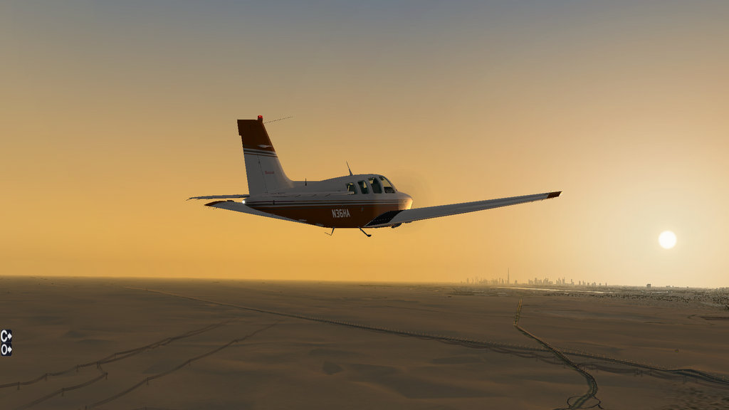
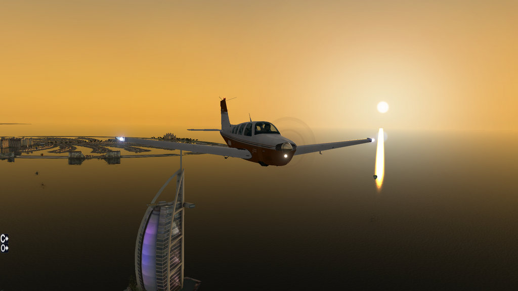
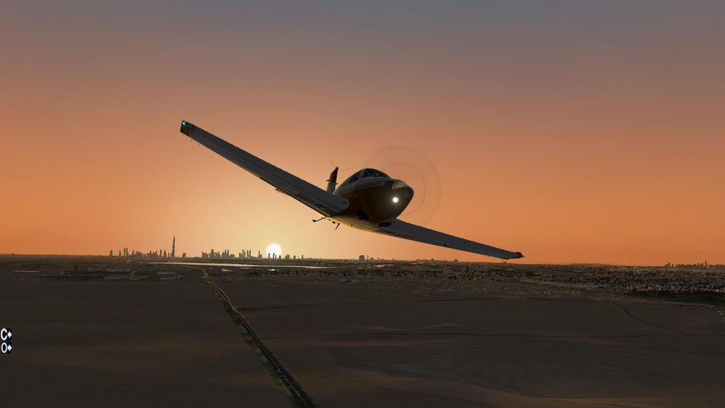
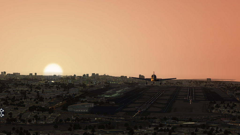
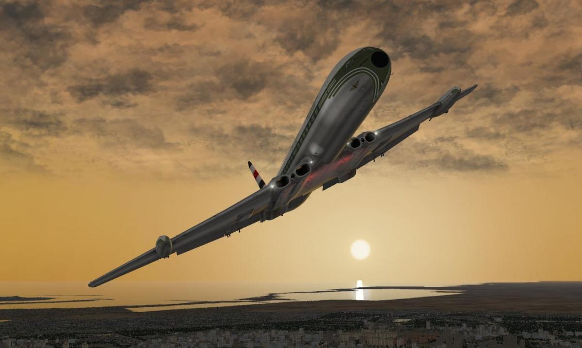
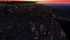
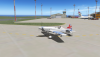
Dubai:
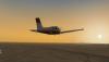


 4 points
 -
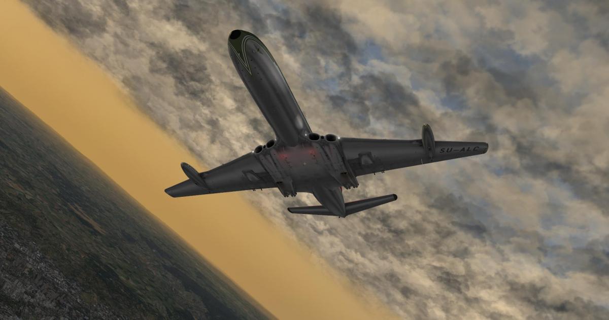
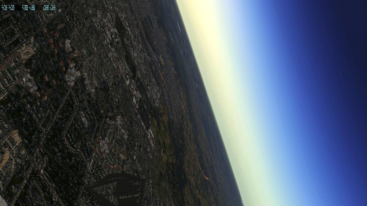
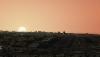
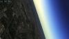
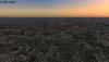
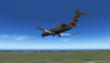
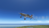
Comet over Adelaide


 3 points
 -
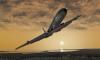
X-Plane 10 - Now available at x-aviation.com!3 points
-
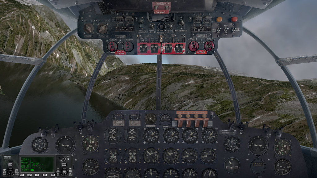
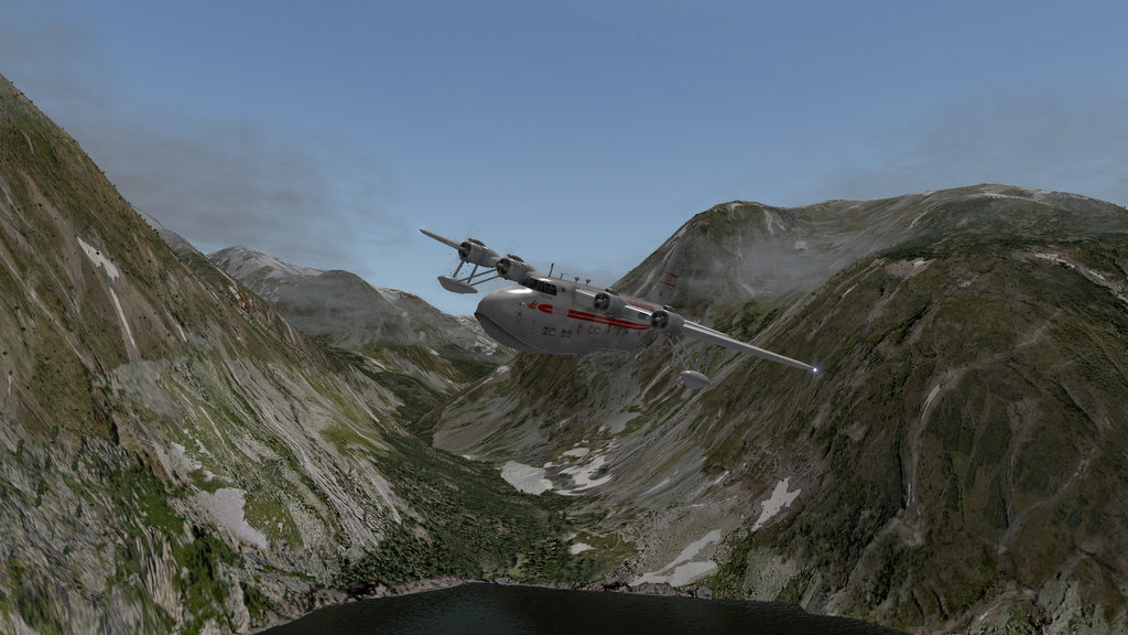
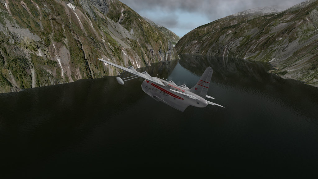
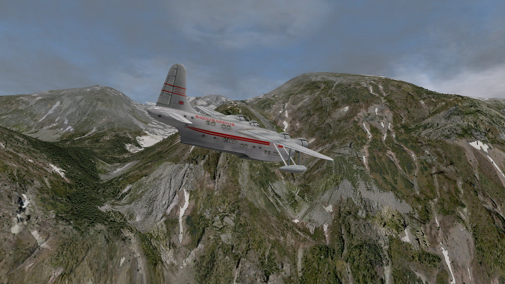
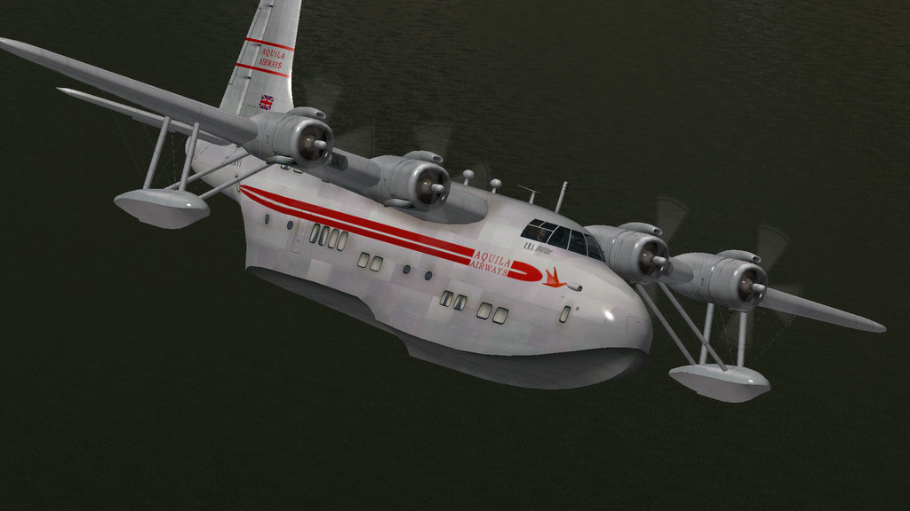
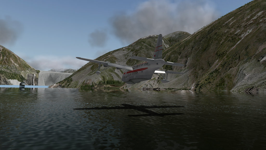
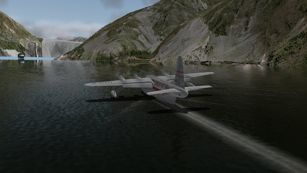
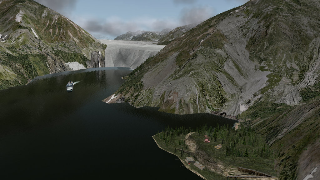
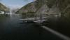
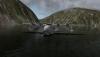
And now for something completely different: Michael Wilson's Short Solent, somewhere near Juneau, Alaska. Great plane to fly, despite its age.

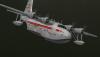
 3 points
 -
That's exactly the problem. If you have the X-Plane TCAS and scalable weather radar, you get the red line, and there is no way to get rid of it. That means, the only chance to get this, is I have to code the possibility to get rid of the red line in X-Plane itself. Which means I must code this in X-Plane, not in the CRJ. However, Laminar hired me for a lot of other things to do in X-P, which are far more important for them before they let me mess around with the X-Plane navdisplay. Philipp2 points
-
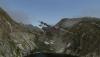
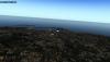
Egmont National Park view out of the port window. I was actually en-route to Wellington (having just downloaded the jaw-dropping NZ Pro by altpilot, but experienced engine problems in the port engine ... therefore I decided to divert to New Plymouth (NZNP) ...
 2 points
 -
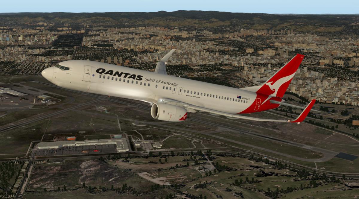
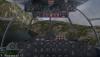
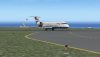
Flying a 767-300ER at NZCH.

 2 points
 -
Making some of them... In the 1.01 I will include the templates.1 point
-
1 point
-
I can't wait to see UrbanMAXX textures with snow1 point
-
This aircraft is in-cred-ible. No question, you should install this pronto!1 point
-
Another 2 days of mucking with the urban texture replacements. These shots are for Arti and his brother - Been trying to recreate the look of that video he took! Video: http://vimeo.com/49875568 - CK.
 1 point
 -
Hi Kris If you got the CRJ, youv'e got the Remote CDU all ready. Can you access the CDU on the same machine now, by entering http://localhost:18387 into the browser of your choice, or from a different machine if you enter the URL like this http://192.168.0.2:18387 Just replace "192.168.0.2" with the IP address of the machine running X-Plane with the CRJ loaded. Look at the files Manual/Remote-CDU-Howto.pdf for detailed usage instructions. . cessna729.1 point
-
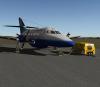
Imaginesim DCA Converted for X-plane. It does convert well with little need to fix obj's through overlay editor.1 point
-
Towards the Black Sea with the A36, near Odessa. Taken from my current world tour. (Picture has been modified in Picasa.)
 1 point
 -
Don't forget Christchurch and Auckland: http://forums.x-plane.org/index.php?app=downloads&showfile=17367 (Auckland) http://forums.x-pilot.com/index.php/files/file/122-nzch-christchurch-airport-photo-scenery-xp10-isdg/ (Christchurch) http://forums.x-pilot.com/index.php/files/file/121-nzch-christchurch-openstreetmap-osm2xp-building-enhancement-xp9xp10-isdg/ (Christchurch OSM buildings) You might also consider to install appropriate ground textures from PilotBalu's website: http://simheaven.com/?page_id=208&wpfb_file=65 (Auckland) http://simheaven.com/?page_id=208&wpfb_file=67 (Christchurch) (Very big files, but with great detail (zoomlevel 17). Please only download 1 file at a time from simheaven.com; as bandwidth is limited. You can use a download manager, though, to continue interrupted downloads.) Be careful of the correct order when installing all that stuff. Alphabetically, airports go first, then OSM buildings, then ground textures and finally Alpilot's hires mesh. Easiest is to put "zz" to the OSM building folder names, "zzz" to the ground texture folder names and "zzzz" to the mesh folder names. Then delete the .ini and let X-Plane do the sorting. (Simplified example from my Custom Scenery: NZCH Christchurch zz_OSM_Christchurch zz_NZ_Overlays by alpilotx zzz_Orthophoto_Auckland zzz_Orthophoto_Christchurch zzz_NZ_Mesh by alpilotx )1 point
-
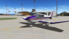
I love this aircraft! It just handles so sweet ... On the apron @ Armidale Terminal (YARM) ...
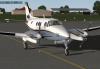 1 point
 -
XPP A340-300 with EPORT Aerolineas Argentinas Livery1 point
-
A whole lot of pictures of EGPC.

 1 point
 -
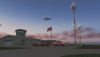
At Tamworth airport (YSTW)
 1 point
 -
I want one! Do you have any extra details on this aircraft?1 point
-
1 point
-
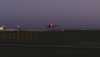
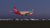
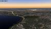
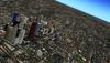
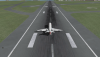
Departure from Adelaide....

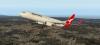 1 point
 -
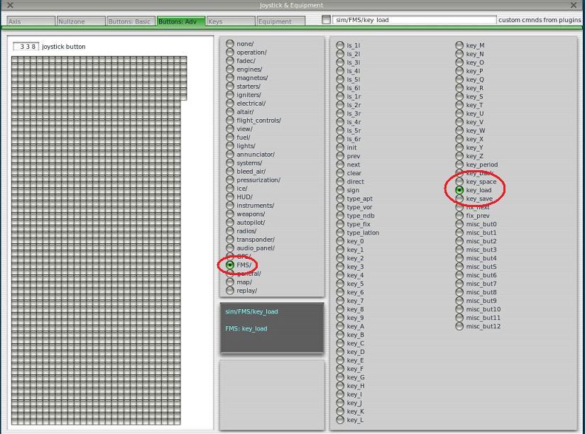
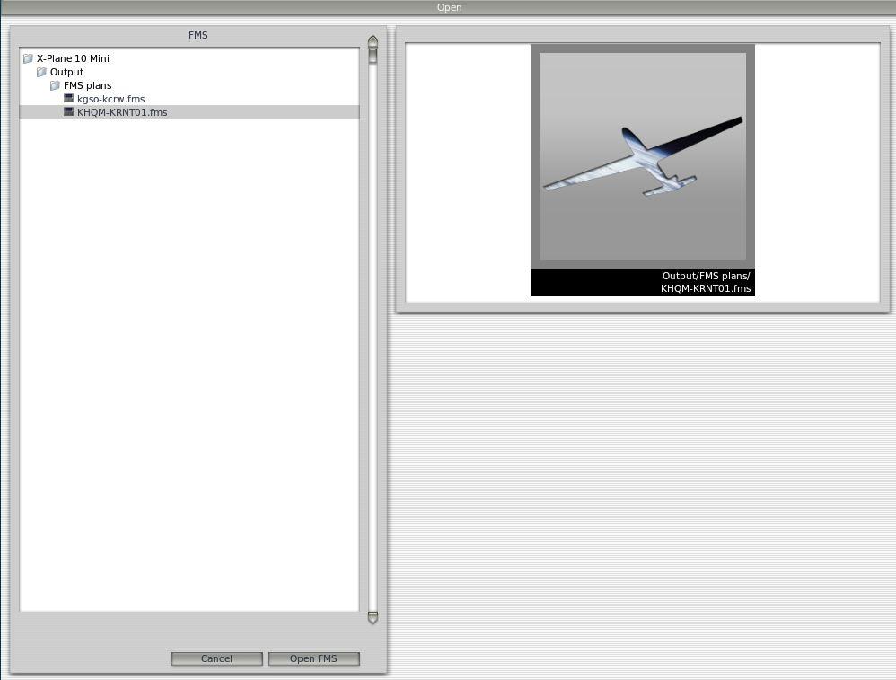
As a work-around, you can get the Built-in X-Plane GPS to load a XP FMS flight plan, by assigning a joy stick or key to sim/FMS/key_load Yes Please!! :D . cessna729.
 1 point
 -
This may be of some help. http://www.aftd.com/TCDS_PDFS/A56EU_5.pdf Airspeed Limits. VMO (Maximum Operating Speed) up to 16,750 ft 250 knots, VMO (Maximum Operating Speed) at 25,000 ft 210 knots VA (Manoeuvering Speed) 180 knots VFE (Flaps Extended Speed) Take-off (Flaps 10°) 170 knots Approach (Flaps 20°) 160 knots Landing (Flaps 35°) 150 knots Lift Dump (Flaps 70°) 120 knots VLE (Landing Gear Extended Speed) 160 knots VLO (Landing Gear Operating Speed) 160 knots VMC (Minimum Control Speed) Take-off (Flaps 10°) 100 knots Note: VMC at sea level/15°C standard atmosphere condition. See FAA-approved Flight Manual HP.4.16 for other conditions. cessna729.1 point
-
At 1000' AGL you usually set climb power... Reduce torque until you get about 550C EGT (but don't go lower than 80%) and reduce RPM to 97%. Flip on prop synch if you want and reset power levers to get your desired rate of climb or max. 650C EGT. Climb speed should be 160kt IAS until FL150, after FL150 reduce with 3kt for every 1000ft. Then during cruise, just keep RPM 97% and temp below limits, or adjust for fuel economy . During summer, be happy to get above FL100 with max weight. In winter you can probably get up to FL200 without too much trouble. Service ceiling is FL250, but so far, the highest I have flown is about FL190 on a 2+ hour flight. Shorter hops (about 1 hour or less) are mostly FL130-160. In the summer this can give you about 1-5 minutes at cruising altitude . Also, for some very short hops (10 mins or less) we just fly at MSA. About T/O and LDG speeds: Depends on a lot of factors indeed. Mostly weight and and flap setting. My company has a quick reference on the checklists that starts at 5600kg which will give you speeds of 99, 101 and 111 (V1+Vr, V2 and Vy Single Engine). Up to maximum takeoff weight of about 7050/7350 (31 or 32), which gives speeds around 112, 115, 125. Vref for 5600kg is 101 (flaps 35) or 111 (flaps 20). During approach 130-140kts is a nice speed, any lower and in the real aircraft the controls will get a bit more sloppy.1 point
-
File Name: NZCH Christchurch Airport Photo Scenery (XP9) ISDG File Submitter: chris k File Submitted: 23 Aug 2012 File Category: DSF Scenery Packages X-Plane Version(s): X-Plane 9 NZCH Christchurch New Zealand Airport Photo Scenery (XP9 Compatible Build) v1.0 Feb 26, 2012 - Chris K and FlorianR X-Plane Version 9 User's Notice: This is an X-Plane 9 compatible build of our XP10 scenery. In this version we tried to replace as many XP10 specific buildings as possible with XP9 or OpensceneryX objects. However, there are quite a few buildings missing from this version than the original XP10 enhanced version. Copyright: The NZCH Photo Imagery is licensed under a Creative Commons Attribution 3.0 New Zealand License with Crown copyright reserved. Please read the LICENSE.RTF for further information Installation: Move the entire folder into your "X-Plane/Custom Scenery/" folder. Thats it. Do not change the name of the directory. This prevent conflicts with the Greater Auckland 2.0 scenery, which has it's own (limited) version of NZCH. Requirements: 1. This is an X-Plane 9 build of this scenery. it will work in XP9 or XP10, but has no XP10 specific features, facades, buildings, or lighting. 2. It is suggested that if you do have XP10, you download and use the XP10 version (link provided above) 2. Requires a Video Card with 1GB of VRAM if you want to use at 'extreme resolution' (which you do, for best quality). 3. Requires OpenSceneryX ( http://www.opensceneryx.com/ ) Conflicts: Conflicts with RoyalOaks awesome NZCH Christchurch Scenery for XP9 Remove his Scenery from your /Custom Scenery/ folder, as I have received permission to incorporate it into this one Object and Scenery Credits: - Grass Edges as per Simmo W (capnsully)'s Tutorial - Grass Imagery from Mihaly (KSGY) from Xplane.hu as part of the "Mow your own grass" Tutorial - I've adjusted for colour. - Apron Lighting courtesy of the built in XP9 Library by Laminar Research. - Tress Courtesy of Andras (alpilotx) Fabian's excellent Euro-replacement forest textures publicly available on his webpage (http://www.alpilotx.net) - NZCH Airport Buildings and original FSX conversion courtesy of Robin (RoyalOak) Tannahill. - Derivative works and original FSX-converted objects Troy Chapman, used with permission. - Hangars and Misc items courtesy of OpensceneryX and their respective authors (http://www.opensceneryx.com/) - Orthophotos courtesy of Land Information New Zealand, used under licence. (http://www.linz.govt.nz/topography) - Ortho Manipulation and PhotoEditing by Florian (FlorianR) Radack. - Florian Deserves as much credit on this project - His awesome photoshop work made all this possible. - Telephone Poles courtesy of Nick (Nickster) Ward. - Joe (YYZatcboy) Vermeulen for assistance with testing and good suggestions. - Andrew McGregor for providing me ground photographs of the Airport and Locations of field obstacles. - Andy (Gjalp) for being my most enthusiastic supporter. Known bugs / stuff left to do: 1. There's a small piece of scenery missing near the runway approach lighting to RWY 02. - The reason is that was never part of the original aerial photography set by LINZ. - I'll search for a suitable replacement for that small corner (other LINZ data perhaps) 2. There's a cloud shadow near the threshold of RWY 02. It's not a show-stopper though. 3. Hedgerows need to be adjusted with new textures and adjust tree shapes/sizes to make it look more like hedgerows. 4. There's a seam just north of the Aeroclub in-between two of the orthophotos. It does not show up in WED, though... looking for the cause. Misc: This is my first attempt ever at: - Making an Airport - Using GeoTIFFs - Making a Draped Polygon - Using any of the X-Plane scenery tools - Using OpensceneryX Thanks: 1. This was completely done in WED v1.1b4 for MacOSX - Thanks to Ben Supnik and various details on his blog regarding scenery optimization. 2. GraphicConverter. Great software for batch ortho conversions and alpha blending. Pretty much all my gfx work was done with it. 3. All the previous threads in the Scenery Development forum on x-plane.org, which I found 99% of my answers to. The [sEARCH] button is your friend. 4. Carlos Garcia for pointing me in the right direction for the grass forest files from capnsully/Simmo W 5. Support from the community in general. License: This scenery is Pieware - Meaning that if you like it, you are obligated to send us some kind of edible bakeware in pastry-and-filling format. We especially like Blueberry Pie, but will settle for Apple, Strawberry Rhubarb, or possibly Lemon Meringue. © 2012 ISDG - International Scenery Development Group Click here to download this file1 point