Search the Community
Showing results for tags 'geotiff'.
Found 3 results
-
Next Project - NZWN Wellington New Zealand Charlie has done some buildings and objects for this. I'll concentrate solely on doing the underlying orthos. I'll also try to keep this one XP9 friendly (using OpensceneryX stuff and no lighting/facades/buildings). I have 2 groups of images for this one: 1. General City Ortho at 2.5m This set covers everything - i.e the entire city is covered, all the way through the bay up to the Hutt valley 2. High-Res Airport-Only ortho at 0.1 meter Same resolution that NZCH was & I expect simmilar good results once TIF->PNG->DDS compressed Again, much ike NZCH, only the airport will be done in super-hi-res. (BTW, This Hi-Res Imagery cost me $50 or so just for that little airport section.. the entire city would be out of the question, $$ cost wise, hence the low-cost 2.5m for the rest of the city/valley). I expect this to be (once again) a free package. I will also post progress over the weeks. Go team! =) - CK.
-
Hi, I am trying to bring a GEOTIFF into WED but I'm having an issue. When the image is placed it just shows as a blank image. I created the GEOTIFF using Global Mapper. I set control points in Google Earth, saved the image, brought it into Global Mapper, Rectified the image, and exported it as a GEOTIFF. But when I tell WED to open it, WED only displays a blank image. I tried exporting it as a kmz to make sure my control points were accurate and everything lined up as it should, so I know my control is accurate. I have tried using other formats with the same result. I'm using wed_win_110r1 on Windows 7 64-bit if that helps. I'll attach my tiff if anyone else wants to see if it loads right for them scrf-2.tiff
-
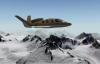
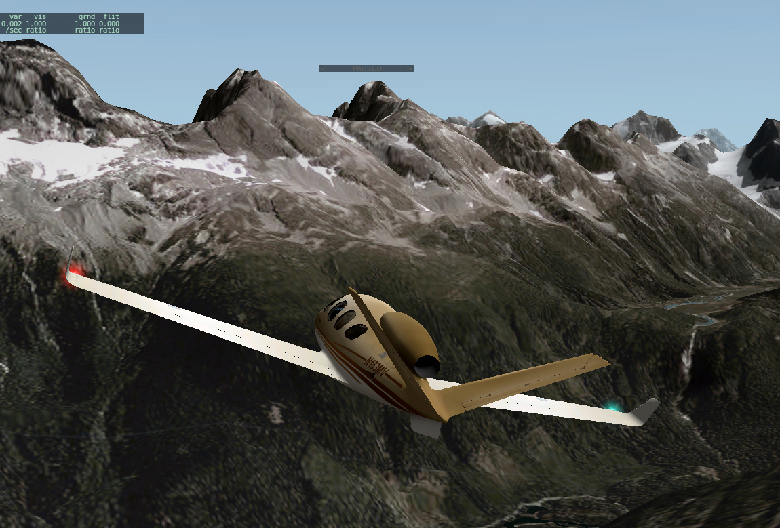
Flight I did yesterday near Bella Coola, British Columbia. I created the scenery in Meshtool using digital elevation model data, shoreline data and orthophoto data freely available on Canadian Government/Province of British Columbia websites. Should be ready to post to the .org in a couple weeks.