Markb42
-
Posts
2 -
Joined
-
Last visited
Content Type
Profiles
Forums
Latest X-Plane & Community News
Events
Downloads
Store
Everything posted by Markb42
-
Hi Franz indeed it is, I have a full xp12 install including all the ares and then the true earth scenery is installed on top of this. If i disable the true earth scenery and therefore use the default scenery the heights show correctly as you’d hope. I did try this morning flying in a area with self made ortho4xp scenery (scale 17 but with mesh data settings at default ie mesh data derived from the xp base data as per the ortho4xp settings) , near Braşov in Romania as it happens, and the terrain height data transfers fine to the G500 so I suspect that it is related to the custom mesh which I think ORBX include in the true earth scenery. all the best mark
-
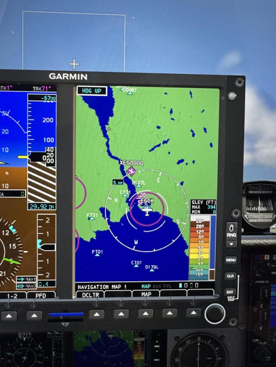
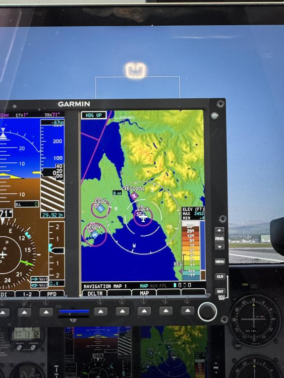
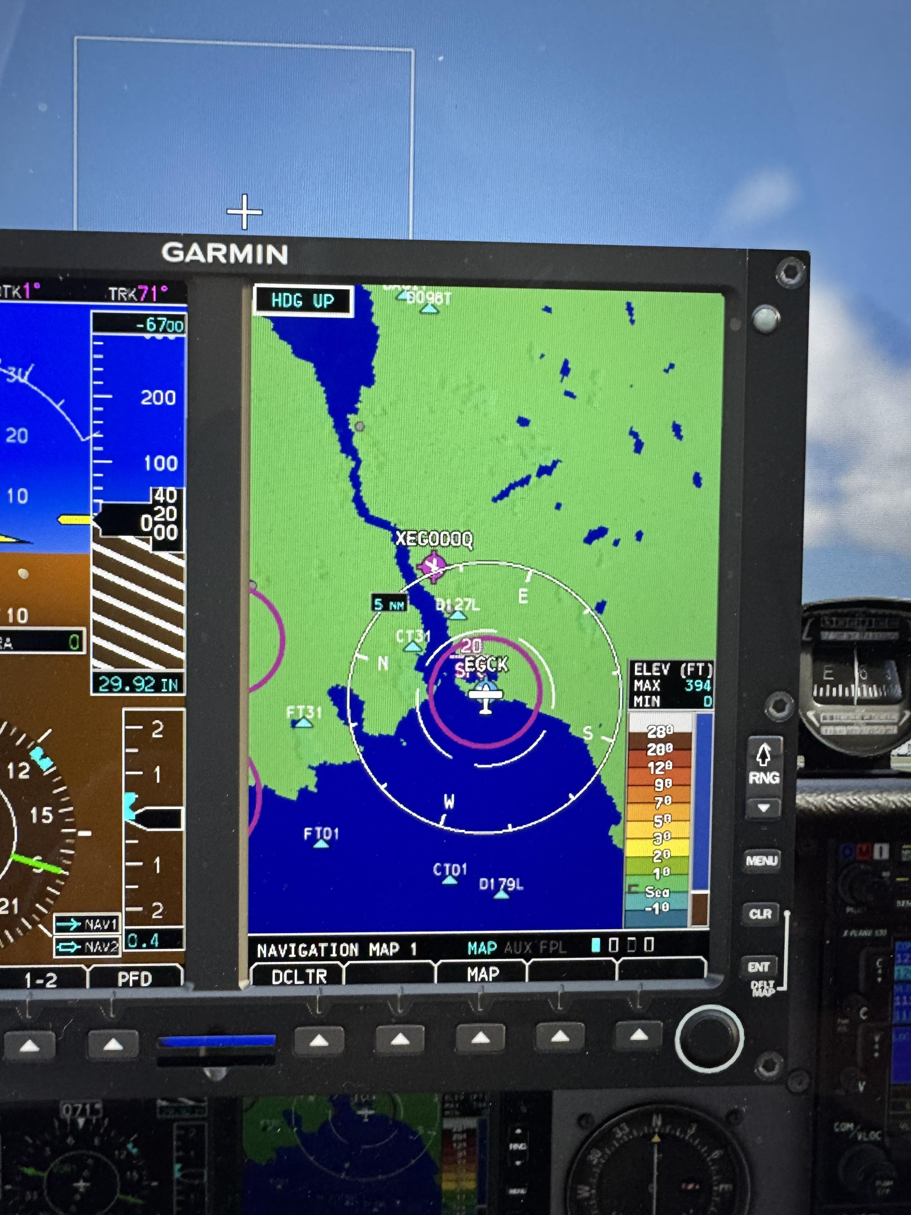
I very much enjoying using the real SIM gear G500 with XP 12 there is however a very strange problem when using this software in a plane over an area covered by the true earth Great Britain scenery. As shown in the attached screenshots the G500 fails to show any terrain data. I have investigated this a bit and it seems to be some sort of failing to parse the ortho tiles from the true Earth scenery; if this is disabled while still leaving the orbx overlay and custom objects scenery installed and active then the terrain shows correctly whereas when the ortho tile file is active and enabled the G500 map does not show terrain data correctly. The same area roughly is shown with and without the true earth ortho scenery enabled. I wonder if anyone else has come across this and would be interested in any potential solutions all the very best Mark