-
Posts
123 -
Joined
-
Last visited
-
Days Won
2
Content Type
Profiles
Forums
Latest X-Plane & Community News
Events
Downloads
Store
Everything posted by axmiha
-
I'll check the videos, sure. Thank you. And a "hello" from my dogs to your dog!
-
Really?? I was in coffin corner?? Because of the altitude? I heard of that in some Air Crash Investigation video. Holly sh... But, but but .... the red marks in the ... er... EFIS? EADI? They don't appear when flaps are up, so....how would I know I was in ... brrrr ..... coffin corner? ... (spoken "Côfen Cônah" in England).
-
I don't remember total weight. But I'm starting the same flight again and it must have been something very similar. Payload = 15.500lbs / Fuel = 20.300lbs / GW=108.1 / ZFW = 87.9 Let's see what happens. ..... FL220 / winds 208/22 ......FL320 / winds 252/39 ......FL360 / winds 257/42...and...cruising now at FL360 m0.74 no problem. Yesterday I climbed not in VNAV (like now), but in LVL-CHG, and in a lower speed (around 0.68). So at FL360 I had to go from 0.68 to 0.73 but it was accelerating too slowly and I thought something was wrong. Winds were stronger yesterday but not so much. I hate to waste your time like this, fellers, although your replies are great for me to learn. But I'll continue with the training videos.
-
Thank you. Absolutely correct. Very strong head winds. In fact the throttle was...how do you say it....way to the front (sorry) almost the whole flight. At FL360 it couldn't go faster than .69 or so. It was "struggling". In fact that was another doubt I had, about what to do when that happens. Should I go slower? Go to another altitude? But I don't want to bother with so many questions, specially about these things that are so variable - complex calculations for each flight etc. It was the first time I only followed the quick planner. I usually use the http://fuelplanner.com/ and it usually works, but I don't think it considers the winds (I guess "reserve fuel" has nothing to do with winds...?). If I remember I loaded about 19,200lbs with quiekplanner. See the picture bellow, fuelplanner.com gave me 20.222. Not too different. I use SkyVector for the routes and it has, in the navlog, a table of winds - the other picture - (directions and speeds). Is that how you know what winds you're going to encounter on your flight? (By the way, never mind the TAS. I still have to learn how to fill this thing correctly.)
-
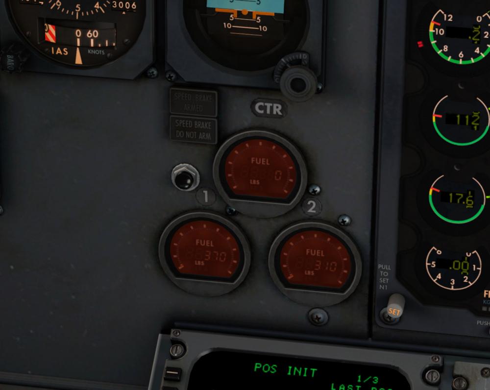
Not related, but I just landed in SAEZ (Buenos Aires) coming from SBSP (São Paulo), a 3hs flight (dist:930), and just as I touched down, the master alarm came on. "Fuel". Mama mia, thank god I'm not a real pilot. The picture is when I parked. I followed the IXEG's quick fuel planner. How does that work? The "fuel required" plus...? Uft!
-
Doesn't "smell" like an IXEG problem, and it's probably unrepeatable. Is there such a thing as, for instance, you pass through a certain area and something changes in XPlane info about altitude, terrain, position, weather, something? It felt like that. Something changed that made IXEG go mad, thinking i twas at 9000ft. But I'm just guessing...
-
Hi. Real weather (match real world conditions on XP). XP failures....er...er.....lemme check....all in "always working". A Fly with LUA problem perhaps?
-
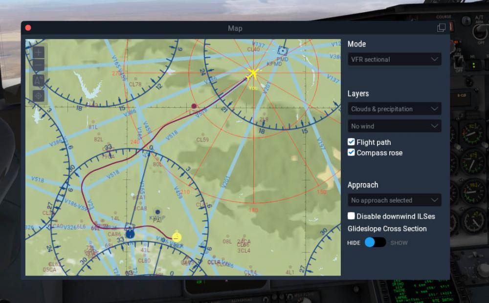
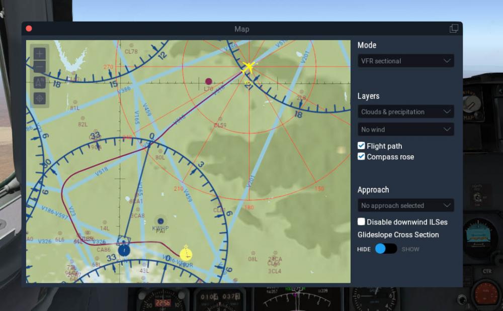
I was flying from Bahia Blanca (SAZB) to Bariloche (SAZS) and cruising at FL320. Suddenly the plane went mad. Speed went to a billion knots, all alarms went nuts and the altitude jumped down to 9.000 feet. (INHG was still 2992) I went manual, reduced speed and started climbing again to FL320. It reached FL270 and stopped there, unable to climb more. The speed indicator showed the top speed needle (the red and white one) quite low (at about 220kts) so it looked like I was actually at the maximum altitude (FL370?). So something happened to the altimeter that it went crazy. Any ideas?
-
Hey, I became an advanced member. Was that because of the "reputation" you gave me?
-
Whatever is possible, sir. Thank you. That's gonna be a good one. In fact, that might be my next one. I have a long list of requests, but this one is small, so it shouldn't take too long.
-
In fact I can't see anything on google street there. Humpf. But there are pictures for the outside.
-
Fantastic. iphone7 is more than enough resolution. Generally it's pictures of, let's say the terminal, walls and windows, seen from the apron (or ramp area?) as much "in front" as possible (de frente). Anything I can't see on google street. Do you have access to the insides of the airport? And of course, this is not absolutely necessary, only if you can do it, for fun and no efforts.
-
And thank you for the donation, very much!
-
Are you kidding?? That's one of the airports I do want to do, since my mom lived in Bariloche for a while and I went there to visit etc. Argentinean family here! You bet yer arse I'll do SAZS. If you live there, maybe you could take some photos for textures etc. Possible? ax
-
Thank you, sir. There's a lot more on my blog, if I may throw a pitch here - http://axplane.blogspot.com.br/
-
SBBE Val de Cans International Airport View File The file SBBE_1.0 is actually for X-Plane 11 - there's no 11 to choose in this form. The file SBBE_1.0_10 is the XP10 version (the only difference is there is no Ground Services). Belém/Val de Cans–Júlio Cezar Ribeiro International Airport (IATA: BEL, ICAO: SBBE) is the main airport serving Belém, Brazil. Val de Cans (sometimes spelled Val de Cães) is the name of the neighborhood where the airport is located. Since 13 April 2010 the airport is named also after Júlio Cezar Ribeiro de Souza (1837–1887) a researcher of balloons. It is operated by Infraero. Some of its facilities are shared with Belém Air Force Base of the Brazilian Air Force. Libraries required - none, theoretically. I used only the default lib (fence.fac) and Marginal's autogate. The rest is custom made. Submitter axmiha Submitted 09/25/2017 Category DSF Scenery Packages X-Plane Version(s)
-
Man, I did sweat on my way back to KBUR. Suggestions on the route for KLAS - KBUR?
-
Wow. Got it. No, I don't have those tools, and thank you for the explanation. I had no idea. My VNY departures #2 and #3. Always late.
-
Godamit. Why the second time has to be such a mess? It went horrible, overshooting everything. A question, sirs: I landed on rwy 25L in KLAS, but the runway on skyvector's chart is 26L. I see this often, different runway numbers on SkyVector. This is bad data on SkyVector, right?
-
Yes, I saved and loaded the replay, and in this case no external views. I'll try the other way - alt r.
-
YA BASTARDSSSS!!!! I DID IT! I did plan it in the FMS but I flew just as instructed. The left side HSI (?) on VOR/ILS and the right side on MAP just to check, and to guide me on the altitudes, cause I was a bit confused about that. Very very interesting, and so much more fun. I'll see if I can do a movie of the flight, but apparently the IXEG doesn't let you get out of the cockpit during replay. JAN! Is it possible? Thank you fellers, you made me one happy guitarist.
-
VERY quick on the radios...I'll do my best. Probably will end up in Alaska.


